Find your way in and around Paris Beauvais airport. Due to their small size terminals are easy to navigate and travellers usually never get lost. Here is information about airport terminals layout, transport maps, driving directions.
Shuttle & van services
Compare and book your airport shuttle & transfer service between Beauvais airport and Paris city center, Disneyland, Versailles or another airport...
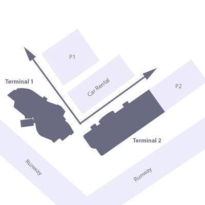
Since 2010 Beauvais airport counts two terminals : 1 and 2. Shopping areas are limited at the airport. For travellers with important connecting times a Pub is just off the road ... but keep in mind that the boarding is closed 45 minutes before departure.
Terminal 1
Terminal 1 is the oldest and the smallest terminal. It hosts only a few shops and snack restaurants in the public area and a small dutyfree shop in the airside area.
Terminal 2
Terminal 2 is the newest and the biggest. Yet it is easy to navigate as it remains quite small in comparison to other airport's terminals.
Getting to Beauvais airport by road from Paris takes from 70 to 90 minutes depending on traffic congestion. First take the N1 to the North and the A86 Highway then follow A15 highway and N184 to connect to A16 highway that direcly leads to Beauvais.
Getting to/from the airport
Paris Beauvais airport (BVA) is located 85km in the north west of Paris. Bus & coach, shuttle, taxi, train, ... Travellers have plenty of choices to get to and from the airport.